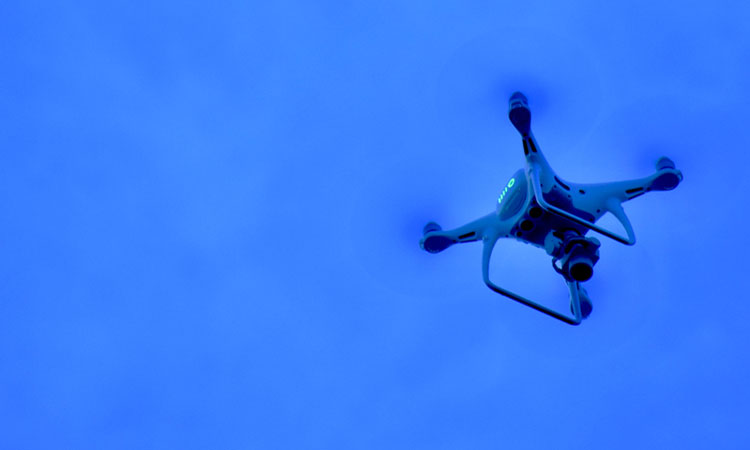
New technology will see exact position of drones with real-time location
- Like
- Digg
- Del
- Tumblr
- VKontakte
- Buffer
- Love This
- Odnoklassniki
- Meneame
- Blogger
- Amazon
- Yahoo Mail
- Gmail
- AOL
- Newsvine
- HackerNews
- Evernote
- MySpace
- Mail.ru
- Viadeo
- Line
- Comments
- Yummly
- SMS
- Viber
- Telegram
- Subscribe
- Skype
- Facebook Messenger
- Kakao
- LiveJournal
- Yammer
- Edgar
- Fintel
- Mix
- Instapaper
- Copy Link
Posted: 11 March 2019 | International Airport Review | No comments yet
Partnership between Cranfield University, Thales and Vodafone will see an investment in technology which is able to see the exact position of drones, ensuring drone use is safe beyond the line of sight.


Thales and Vodafone have joined the National Beyond visual line of sight Experimentation Corridor (NBEC) partnership alongside founding partners Cranfield University and Blue Bear Research Systems. The addition of these two global industry leaders is a significant boost in the capabilities of NBEC, as the corridor continues to be developed.
The project is closely aligned to the Aerospace Sector Deal, a government initiative to drive industry collaboration to support the future of mobility in the British economy. It will examine the real-world impact of digital transformation to jointly develop and exploit innovations within and between digitised airline operations, aircraft, airspace management and airports that are already in play.
Building on the existing partnership between Thales and the Digital Aviation Research and Technology Centre (DARTeC), based at Cranfield University, Thales is wholly committed to unlocking the potential of digital aviation in the UK and globally. The NBEC partnership brings to life Thales’ efforts to safely and securely integrate unmanned systems into UK airspace by integrating the airspace situation into the software solution devised for NBEC.
The NBEC flight corridor will be used to demonstrate how 4G and 5G mobile technology can be used to identify and track the location of a drone in real-time, vital to ensure that autonomous ‘beyond line of sight’ flights are safe. This will complement existing satellite-based location systems, which provide accurate location estimates but can be open to jamming and compromise. Mobile connectivity on a drone will provide a secondary feed of location-based information, enabling a more robust and trusted picture of the drone’s location. Such capabilities will be key to the air traffic management systems required to allow the routine and safe flying of commercial drones in the future.
Blue Bear and Cranfield recently completed the first test flights to establish the principles for the National Beyond visual line of sight Experimentation Corridor (NBEC) at Cranfield Airport. The ultimate aim is to see the corridor eventually stretch across Bedfordshire from Blue Bear’s headquarters in Oakley to Cranfield University’s airport.
Steve Murray, VP Strategy & Marketing, Thales UK, said: “Our solutions will help to build the foundations for an entirely new air transport system, based on clean, electric and hybrid air vehicles. For example, this will enable the routine, safe and secure use of drones for infrastructure surveillance and inspection, logistics delivery services and a future in which urban air mobility is a reality. Digital Trust is at the core of all we do and our role in the project will contribute significantly in the areas of cyber security and the concept of centralised management for drone operations and UAV traffic management to ensure the safety and security of the airspace.”
Anne Sheehan, Director, Vodafone Business UK, said: “Drones offer exciting opportunities for the future and will ultimately bring benefits to society and the economy. However, we need to make sure they are used safely and responsibly. We are delighted to bring our mobile connectivity expertise to the NBEC consortium so that drone technology can be further tested and developed.”
Professor Iain Gray, Director of Aerospace at Cranfield University, said: “With the addition of two global industry leaders, Thales and Vodafone, this is a significant boost to our capabilities as we develop NBEC. Upon its completion, NBEC will be a national asset that will help unlock the potential of a modernised UK airspace.”
Ian Williams-Wynn, MD of Blue Bear, said: “The creation of NBEC allows new technologies to be integrated and tested together to accelerate leading edge research and create a blueprint for UK drone activities. Expanding the consortium with these key industry leading technology providers will increase NBEC capability, and accelerate the expansion of NBEC to become the place to test drones in the UK”.
Related topics
Related organisations
Related regions
Related people
Anne Sheehan, Ian Williams-Wynn, Professor Iain Gray, Steve Murray


